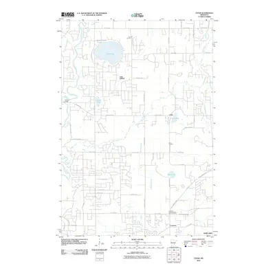
2010 Map of Cedar
USGS Topo · Published 2010About this map
Lake George and the winding Rum River dominate the northern landscape of this Anoka County region, where suburban development patterns intersect with traditional rural landmarks. The transition from agricultural roots to modern residential growth is visible through the dense network of local roads like Lake George Dr NW and Viking Blvd NW. Local history is anchored by several long-standing burial sites, including Pierce Cemetery and the Cedar Cemetery, which serve as vital markers for genealogical research in the area.
Find a feature on this map
54 named features on this map. Tap any name to fly to it.
Don’t see what you’re looking for? This feature index may not catch every label — zoom into the map to look around manually.
Map Details
Editions of this 2010 Cedar Map
This is the sole edition of this map. No revisions or reprints were ever made.
Other maps of this area

1902 · White Bear
USGS Topo · 1:62,500

1902 · Anoka
USGS Topo · 1:62,500

1916 · St. Francis
USGS Topo · 1:62,500

1919 · St. Francis
USGS Topo · 1:62,500

1953 · Stillwater
USGS Topo · 1:250,000

1955 · Circle Pines
USGS Topo · 1:24,000

1955 · Anoka
USGS Topo · 1:24,000

1955 · Coon Rapids
USGS Topo · 1:24,000

1955 · Isanti
USGS Topo · 1:62,500

1955 · Anoka
USGS Topo · 1:62,500