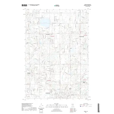
2019 Map of Cedar
USGS Topo · Published 2019About this map
Lake George and the winding course of the Rum River dominate this portion of Anoka County, where suburban expansion meets a complex network of wetlands and drainage systems. The landscape is defined by the intersection of several growing communities, including Oak Grove, Andover, and East Bethel. Historical markers such as Pierce Cem and West Oak Grove Cem provide touchstones for genealogical research, while the presence of the Constance Evangelical Free Church in the southern settlement of Constance highlights the area's local community centers.
Find a feature on this map
27 named features on this map. Tap any name to fly to it.
Don’t see what you’re looking for? This feature index may not catch every label — zoom into the map to look around manually.
Map Details
Editions of this 2019 Cedar Map
This is the sole edition of this map. No revisions or reprints were ever made.
Other maps of this area

1902 · White Bear
USGS Topo · 1:62,500

1902 · Anoka
USGS Topo · 1:62,500

1916 · St. Francis
USGS Topo · 1:62,500

1919 · St. Francis
USGS Topo · 1:62,500

1953 · Stillwater
USGS Topo · 1:250,000

1955 · Circle Pines
USGS Topo · 1:24,000

1955 · Anoka
USGS Topo · 1:24,000

1955 · Coon Rapids
USGS Topo · 1:24,000

1955 · Isanti
USGS Topo · 1:62,500

1955 · Anoka
USGS Topo · 1:62,500