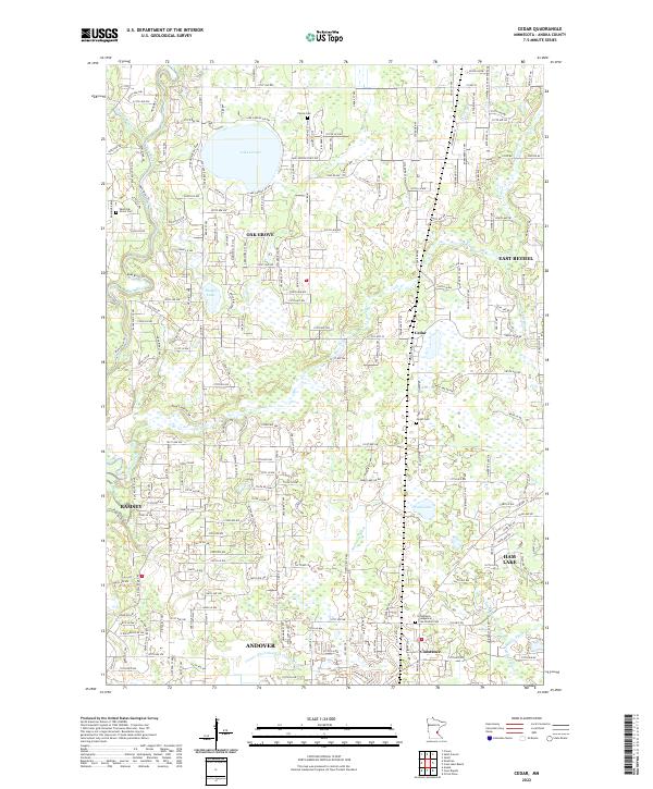
2022 Map of Cedar
USGS Topo · Published 2022About this map
Lake George and its surrounding wetlands define the northern reaches of this Anoka County landscape, where modern suburban expansion meets the established rural boundaries of Oak Grove and East Bethel. The terrain is characterized by a complex network of drainage systems, including the Rum River in the west and several engineered waterways like County Ditch Number Thirty-seven and County Ditch Number Fifty-eight, which were critical for managing the area's low-lying glacial topography. For those researching local roots, the map provides precise locations for several burial grounds, from the Pierce Cem near the northern border to the Constance Evangelical Free Church Cem in the south near the community of Constance. Smaller water bodies like Hickey Lake and Ward Lake are surrounded by a dense grid of residential roads, illustrating the transition of this area into a residential corridor north of Andover and Ramsey.
Find a feature on this map
105 named features on this map. Tap any name to fly to it.
Don’t see what you’re looking for? This feature index may not catch every label — zoom into the map to look around manually.
Map Details
Editions of this 2022 Cedar Map
This is the sole edition of this map. No revisions or reprints were ever made.
Other maps of this area

1902 · White Bear
USGS Topo · 1:62,500

1902 · Anoka
USGS Topo · 1:62,500

1916 · St. Francis
USGS Topo · 1:62,500

1919 · St. Francis
USGS Topo · 1:62,500

1953 · Stillwater
USGS Topo · 1:250,000

1955 · Circle Pines
USGS Topo · 1:24,000

1955 · Anoka
USGS Topo · 1:24,000

1955 · Coon Rapids
USGS Topo · 1:24,000

1955 · Isanti
USGS Topo · 1:62,500

1955 · Anoka
USGS Topo · 1:62,500