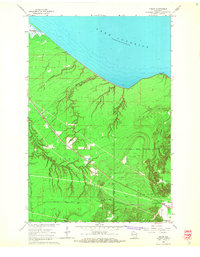
1964 Map of Cedar
USGS Topo · Published 1965About this map
The rocky southern coast of Lake Superior meets a landscape defined by industrial corridors and timber management in this mid-1960s survey. The Chicago and North Western railroad cuts a diagonal path across the terrain, passing through the small settlement of Cedar and skirted by the rugged drainage of Oronto Cr. This region marks a significant transition where the Bad River Indian Reservation Boundary separates managed forest lands from the adjacent townships of Sanborn, Saxon, and Gurney.
Find a feature on this map
21 named features on this map. Tap any name to fly to it.
Don’t see what you’re looking for? This feature index may not catch every label — zoom into the map to look around manually.
Map Details
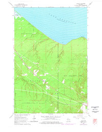
Editions of this 1964 Cedar Map
2 editions found
Other maps of this area

1940 · Upson
USGS Topo · 1:48,000

1942 · Mellen
USGS Topo · 1:48,000

1943 · Upson
USGS Topo · 1:48,000

1943 · Little Girl Point
USGS Topo · 1:48,000

1943 · Odanah
USGS Topo · 1:48,000

1945 · Odanah
USGS Topo · 1:48,000

1945 · Mellen
USGS Topo · 1:48,000

1953 · Ashland
USGS Topo · 1:250,000
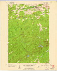
1956 · Saxon
USGS Topo · 1:24,000
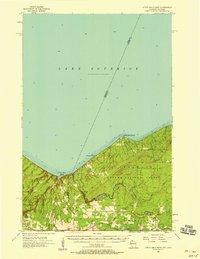
1956 · Little Girls Point
USGS Topo · 1:62,500