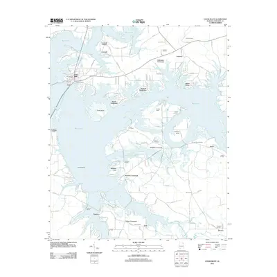
2011 Map of Cedar Bluff
USGS Topo · Published 2011About this map
Cornwall Furnace stands as a prominent landmark on the northern banks of Weiss Lake, marking the industrial heritage of this Cherokee County landscape. In the early 21st century, the area around Cedar Bluff shows a complex geography of inlets and islands created by the impoundment of the Coosa River. Residential developments like McWhorter Subdivision, McElrath Subdivision, and Alpine Shores line the intricate shoreline, interspersed with older landmarks such as the Cedar Bluff Post Office and Burnett Bridge.
Find a feature on this map
96 named features on this map. Tap any name to fly to it.
Don’t see what you’re looking for? This feature index may not catch every label — zoom into the map to look around manually.
Map Details
Editions of this 2011 Cedar Bluff Map
This is the sole edition of this map. No revisions or reprints were ever made.
Other maps of this area

1886 · Rome
USGS Topo · 1:125,000

1893 · Fort Payne
USGS Topo · 1:125,000
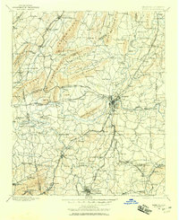
1898 · Rome
USGS Topo · 1:125,000
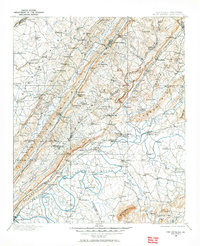
1898 · Fort Payne
USGS Topo · 1:125,000
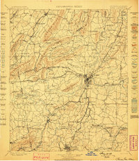
1899 · Rome
USGS Topo · 1:125,000
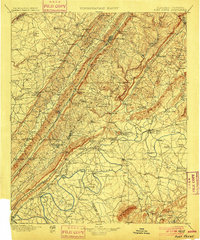
1900 · Fort Payne
USGS Topo · 1:125,000
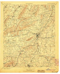
1904 · Rome
USGS Topo · 1:125,000

1955 · Rome
USGS Topo · 1:250,000
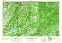
1958 · Rome
USGS Topo · 1:250,000
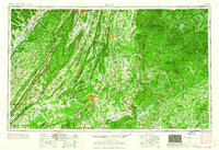
1961 · Rome
USGS Topo · 1:250,000