2024 Map of Cedar Bluff
USGS Topo · Published 2024About this map
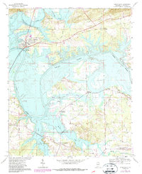
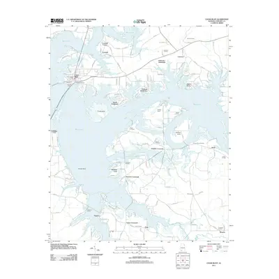
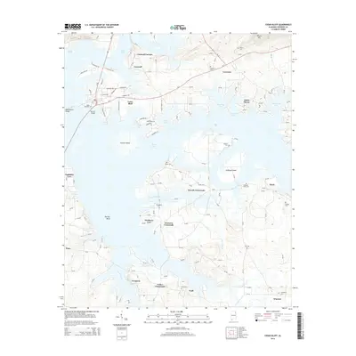
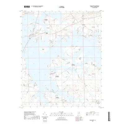
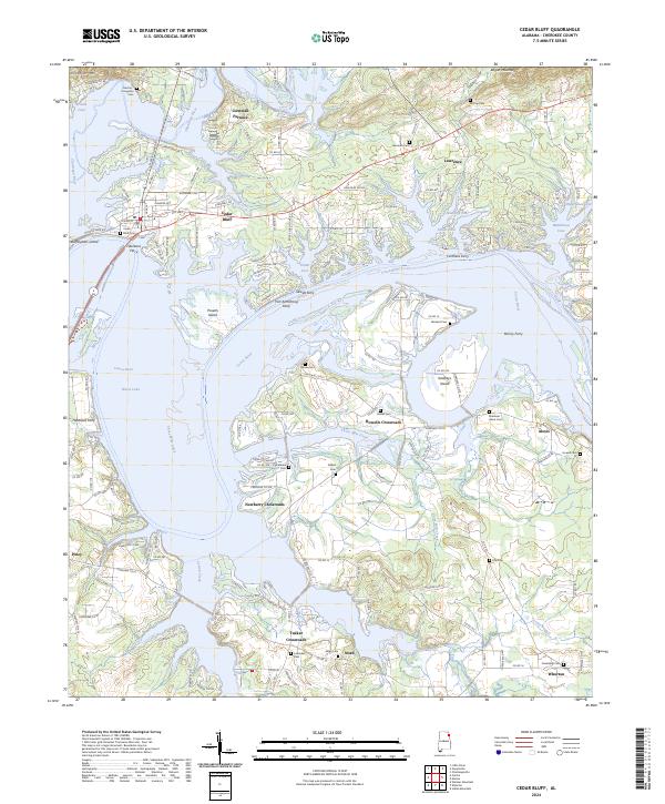
Cornwall Furnace stands as a significant landmark in this riverine landscape, where the Chattooga River and Coosa River converge into the expansive waters of Weiss Lake. The topography is defined by the high ridges of Dirtseller Mtn and Bogan Mountain, which overlook a network of historic ferry crossings, including the Fort Armstrong Ferry, Lawrence Ferry, and Sewell Ferry. These transit points reflect a long-standing reliance on the river system for movement between settlements like Cedar Bluff and the outlying farming communities.
Find a feature on this map
157 named features on this map. Tap any name to fly to it.
Don’t see what you’re looking for? This feature index may not catch every label — zoom into the map to look around manually.
Map Details
Editions of this 2024 Cedar Bluff Map
This is the sole edition of this map. No revisions or reprints were ever made.
Historical Maps of Cedar Bluff Through Time
6 maps found