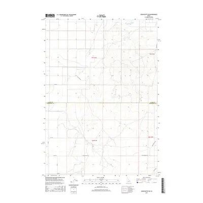
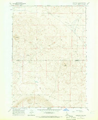
2017 Map of Cedar Butte SW
USGS Topo · Published 2017About this map
Medicine Lodge Cr flows through this high-desert landscape along the border of Clark and Jefferson Counties. The 2017 survey reveals a strictly organized grid of agricultural development and rural access, where long stretches of road like Attkins Rd and Camas Monteview Rd service the volcanic terrain of the Snake River Plain. The map documents the transition from the irrigated fields of S Slope Farms Rd to the more varied, undeveloped topography to the east. Local history researchers will find the precise placement of family-named corridors such as Sauer Rd and Woodfield Ln essential for identifying specific property locations in this late-modern period of Idaho's ranching and farming history.
Find a feature on this map
16 named features on this map. Tap any name to fly to it.
Don’t see what you’re looking for? This feature index may not catch every label — zoom into the map to look around manually.
Map Details
Editions of this 2017 Cedar Butte SW Map
This is the sole edition of this map. No revisions or reprints were ever made.
Other maps of this area

1955 · Dubois
USGS Topo · 1:250,000
1955 · Idaho Falls
USGS Topo · 1:250,000

1958 · Dubois
USGS Topo · 1:250,000
1958 · Idaho Falls
USGS Topo · 1:250,000
1964 · Lone Butte
USGS Topo · 1:24,000
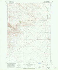
1964 · Small
USGS Topo · 1:24,000
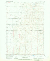
1964 · Cedar Butte SW
USGS Topo · 1:24,000
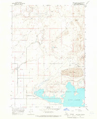
1964 · Mud Lake NW
USGS Topo · 1:24,000
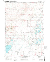
1964 · Rays Lake
USGS Topo · 1:24,000
1964 · Cedar Butte SE
USGS Topo · 1:24,000