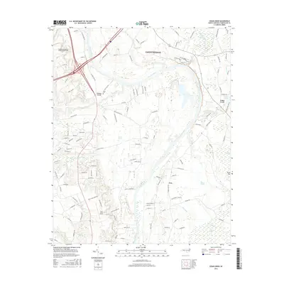
2016 Map of Cedar Creek
USGS Topo · Published 2016About this map
The Cape Fear River carves a winding path through the heart of Cumberland County, defining the agricultural and industrial character of this landscape south of Fayetteville. Aviation plays a significant role in the area's development, anchored by Fayetteville Regional Airport/Grannis Field in the northwest and the smaller Grays Creek Airport to the south. The transition from urban center to rural bottomlands is marked by expansive wetland systems like Big Alligator Swamp and Murphy Swamp, which dictate the placement of local roads and smaller communities such as Grays Creek and Lena.
Find a feature on this map
117 named features on this map. Tap any name to fly to it.
Don’t see what you’re looking for? This feature index may not catch every label — zoom into the map to look around manually.
Map Details
Editions of this 2016 Cedar Creek Map
This is the sole edition of this map. No revisions or reprints were ever made.
Other maps of this area

1948 · Fayetteville
USGS Topo · 1:62,500

1949 · Vander
USGS Topo · 1:24,000

1950 · Fayetteville
USGS Topo · 1:24,000

1953 · Florence
USGS Topo · 1:250,000

1953 · Raleigh
USGS Topo · 1:250,000

1954 · Florence
USGS Topo · 1:250,000

1954 · Raleigh
USGS Topo · 1:250,000

1957 · Vander
USGS Topo · 1:24,000
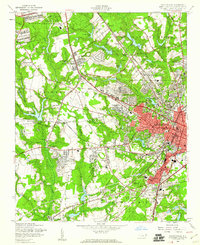
1957 · Fayetteville
USGS Topo · 1:24,000

1957 · Fayetteville
USGS Topo · 1:62,500