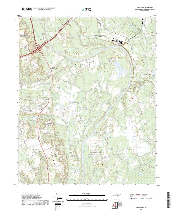
2022 Map of Cedar Creek
USGS Topo · Published 2022About this map
The Cape Fear River dominates the eastern landscape of this Cumberland County region, winding past the settlements of Cedar Creek and Lena. This modern survey documents a topography defined by complex drainage systems and pocosin-like features, including Big Alligator Swamp, Smiths Mill Bay, and Murphy Swamp. The area south of Fayetteville shows a distinct transition from the aviation hubs of Fayetteville Regional Airport to the rural expanses of Grays Creek.
Find a feature on this map
118 named features on this map. Tap any name to fly to it.
Don’t see what you’re looking for? This feature index may not catch every label — zoom into the map to look around manually.
Map Details
Editions of this 2022 Cedar Creek Map
This is the sole edition of this map. No revisions or reprints were ever made.
Other maps of this area

1948 · Fayetteville
USGS Topo · 1:62,500

1949 · Vander
USGS Topo · 1:24,000

1950 · Fayetteville
USGS Topo · 1:24,000

1953 · Florence
USGS Topo · 1:250,000

1953 · Raleigh
USGS Topo · 1:250,000

1954 · Florence
USGS Topo · 1:250,000

1954 · Raleigh
USGS Topo · 1:250,000

1957 · Vander
USGS Topo · 1:24,000
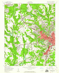
1957 · Fayetteville
USGS Topo · 1:24,000

1957 · Fayetteville
USGS Topo · 1:62,500