
2014 Map of Cedar Creek
USGS Topo · Published 2014About this map
Cedar Creek and the Williams River anchor this topographic survey of the forested drainage basins in western Douglas County. The landscape is defined by its complex network of seasonal and perennial streams, including Gods Thumb Cr and Arrow Cr, which flow through steep topography toward the Coast Range foothills. A significant portion of the area is managed through an extensive network of forestry and access roads, including the Weyerhauser 8000 Rd and various Bureau of Land Management routes like BLM-26-8-19.1.
Find a feature on this map
43 named features on this map. Tap any name to fly to it.
Don’t see what you’re looking for? This feature index may not catch every label — zoom into the map to look around manually.
Map Details
Editions of this 2014 Cedar Creek Map
This is the sole edition of this map. No revisions or reprints were ever made.
Other maps of this area
1928 · Sitkum
USGS Topo · 1:125,000
1955 · Camas Valley
USGS Topo · 1:62,500
1955 · Ivers Peak
USGS Topo · 1:62,500
1955 · Sitkum
USGS Topo · 1:62,500
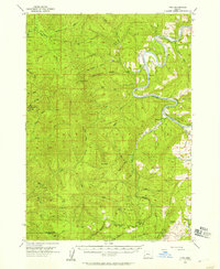
1955 · Tyee
USGS Topo · 1:62,500

1958 · Roseburg
USGS Topo · 1:250,000

1959 · Roseburg
USGS Topo · 1:250,000
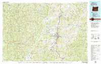
1979 · Roseburg
USGS Topo · 1:100,000
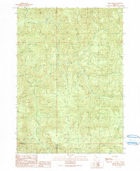
1990 · Cedar Creek
USGS Topo · 1:24,000
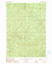
1990 · Ivers Peak
USGS Topo · 1:24,000