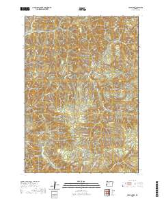
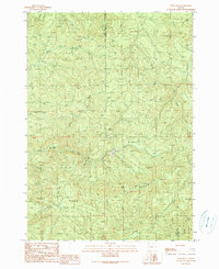
2020 Map of Cedar Creek
USGS Topo · Published 2020About this map
The Williams River flows through the heart of this Douglas and Coos County borderland, defining a landscape dominated by industrial forestry infrastructure in the early 21st century. An extensive network of timber access roads, including the Weyerhauser 8000 Rd, Arrow Creek Rd, and numerous Bureau of Land Management routes, reveals the intensive management of these Douglas-fir dominated uplands. The drainage patterns are highly localized, with steep-gradient tributaries such as Skip Cr, Cedar Cr, and Bottom Cr carving deep into the terrain.
Find a feature on this map
64 named features on this map. Tap any name to fly to it.
Don’t see what you’re looking for? This feature index may not catch every label — zoom into the map to look around manually.
Map Details
Editions of this 2020 Cedar Creek Map
This is the sole edition of this map. No revisions or reprints were ever made.
Other maps of this area
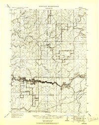
1928 · Sitkum
USGS Topo · 1:125,000
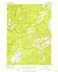
1955 · Camas Valley
USGS Topo · 1:62,500
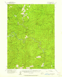
1955 · Ivers Peak
USGS Topo · 1:62,500
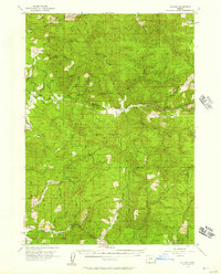
1955 · Sitkum
USGS Topo · 1:62,500
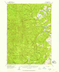
1955 · Tyee
USGS Topo · 1:62,500

1958 · Roseburg
USGS Topo · 1:250,000

1959 · Roseburg
USGS Topo · 1:250,000
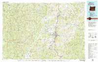
1979 · Roseburg
USGS Topo · 1:100,000
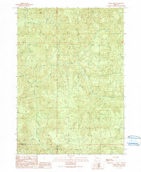
1990 · Cedar Creek
USGS Topo · 1:24,000
1990 · Ivers Peak
USGS Topo · 1:24,000