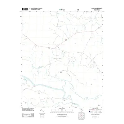
2011 Map of Cedar Creek
USGS Topo · Published 2011About this map
The Santee River snakes through the southern reaches of this landscape, its path marked by several historical water access points including Price Landing, Prices Landing, and Fosters Landing. This low-country region of Berkeley County is defined by an intricate network of wetlands and watercourses, from the broad Bond Swamp in the north to the meandering Wadmacon Creek that isolates Wadmacon Island.
Find a feature on this map
47 named features on this map. Tap any name to fly to it.
Don’t see what you’re looking for? This feature index may not catch every label — zoom into the map to look around manually.
Map Details
Editions of this 2011 Cedar Creek Map
This is the sole edition of this map. No revisions or reprints were ever made.
Other maps of this area

1942 · Cedar Creek
USGS Topo · 1:24,000

1942 · Honey Hill
USGS Topo · 1:24,000

1943 · Olin
USGS Topo · 1:31,680

1943 · Shulerville
USGS Topo · 1:24,000

1943 · Trio
USGS Topo · 1:24,000

1943 · Kilsock Bay
USGS Topo · 1:24,000

1943 · Andrews
USGS Topo · 1:24,000

1943 · Jamestown
USGS Topo · 1:24,000

1943 · Santee
USGS Topo · 1:24,000

1949 · Georgetown
USGS Topo · 1:250,000