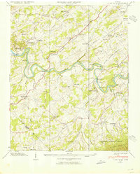
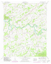
1939 Map of Cedar Creek
USGS Topo · Published 1954About this map
The Nolichucky River carves a winding path through this East Tennessee landscape, creating prominent features like Cochran Bend and Linebaugh Bend. This 1939 survey captures a rural network of family-named settlements and institutions, such as Walter Crossroad and Russell Crossroad, before significant modernization altered the region. The map reveals a dense distribution of community life along the river valleys, particularly in Evans Valley and Seven Springs Valley, where small schools like Ore Bank Sch and Pruitt Hill Sch served local families.
Find a feature on this map
59 named features on this map. Tap any name to fly to it.
Don’t see what you’re looking for? This feature index may not catch every label — zoom into the map to look around manually.
Map Details
Editions of this 1939 Cedar Creek Map
5 editions found
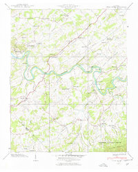
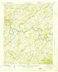
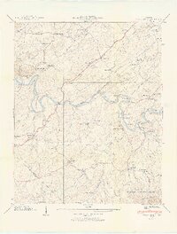
Other maps of this area

1883 · Morristown
USGS Topo · 1:125,000

1892 · Greeneville
USGS Topo · 1:125,000

1893 · Mt Guyot
USGS Topo · 1:125,000

1893 · Morristown
USGS Topo · 1:125,000

1894 · Asheville
USGS Topo · 1:125,000

1895 · Morristown
USGS Topo · 1:125,000

1896 · Greeneville
USGS Topo · 1:125,000

1901 · Asheville
USGS Topo · 1:125,000

1904 · Greeneville
USGS Topo · 1:125,000

1912 · Mt Guyot
USGS Topo · 1:125,000