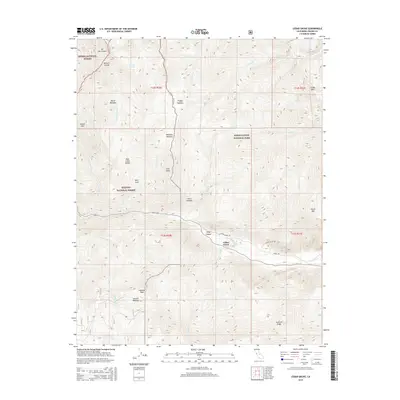
2015 Map of Cedar Grove
USGS Topo · Published 2015About this map
Cedar Grove serves as the central hub of activity along the S Fork Kings River, situated within the high-elevation terrain of the Kings Canyon National Park. This 2015 record illustrates the intersection of major national forests, including Sierra National Forest and Sequoia National Forest, divided by prominent landmarks like the Monarch Divide. The landscape is defined by its dramatic verticality, from the summit of Mt Harrington to the lower valley floor near the Kings Canyon gateway. Backcountry access is traced through features such as Cedar Trl and Death Valley Rd, while numerous family-named landmarks and alpine clearings like Burns Meadow and Wildman Meadow indicate the historical grazing and exploration patterns of the Sierra Nevada. Prominent peaks including Lookout Peak and Stag Dome anchor the surrounding wilderness, providing a clear view of the region's complex drainage systems like Lewis Cr and Sheep Cr.
Find a feature on this map
39 named features on this map. Tap any name to fly to it.
Don’t see what you’re looking for? This feature index may not catch every label — zoom into the map to look around manually.
Map Details
Editions of this 2015 Cedar Grove Map
This is the sole edition of this map. No revisions or reprints were ever made.
Other maps of this area
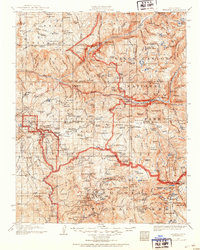
1903 · Tehipite
USGS Topo · 1:125,000
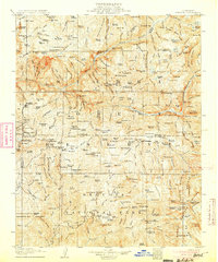
1905 · Tehipite
USGS Topo · 1:125,000

1948 · Fresno
USGS Topo · 1:250,000
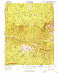
1952 · Tehipite Dome
USGS Topo · 1:62,500
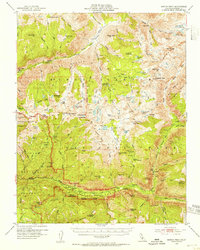
1953 · Marion Peak
USGS Topo · 1:62,500
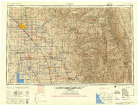
1955 · Fresno
USGS Topo · 1:250,000
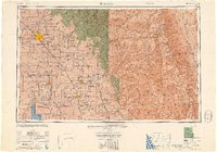
1956 · Fresno
USGS Topo · 1:250,000
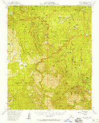
1956 · Giant Forest
USGS Topo · 1:62,500
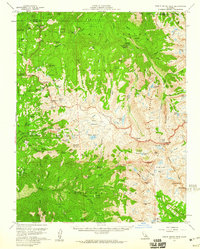
1956 · Triple Divide Peak
USGS Topo · 1:62,500
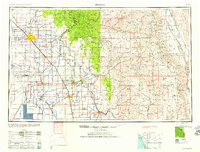
1958 · Fresno
USGS Topo · 1:250,000