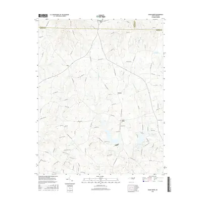
2016 Map of Cedar Grove
USGS Topo · Published 2016About this map
The headwaters of the Eno River define this area of the North Carolina Piedmont, where the W Fork Eno River and E Fork Eno River converge near the settlement of Cedar Grove. This 2016 survey highlights a rural landscape characterized by legacy family-named roads and long-standing community centers. Important historical markers for genealogists include Harmony Cem near the western edge and the Old Eno Cem located further east.
Find a feature on this map
95 named features on this map. Tap any name to fly to it.
Don’t see what you’re looking for? This feature index may not catch every label — zoom into the map to look around manually.
Map Details
Editions of this 2016 Cedar Grove Map
This is the sole edition of this map. No revisions or reprints were ever made.
Other maps of this area

1953 · Greensboro
USGS Topo · 1:250,000

1954 · Greensboro
USGS Topo · 1:250,000

1962 · Greensboro
USGS Topo · 1:250,000

1966 · Greensboro
USGS Topo · 1:250,000

1967 · Cedar Grove
USGS Topo · 1:24,000

1968 · Efland
USGS Topo · 1:24,000
1968 · Hillsborough
USGS Topo · 1:24,000

1968 · Caldwell
USGS Topo · 1:24,000

1968 · Ridgeville
USGS Topo · 1:24,000

1968 · Hurdle Mills
USGS Topo · 1:24,000