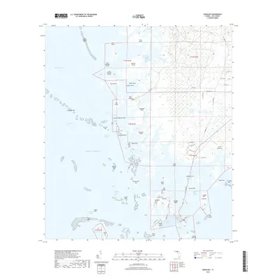
2018 Map of Cedar Key
USGS Topo · Published 2018About this map
Cedar Key and its surrounding archipelago dominate this coastal landscape, where the town itself sits primarily on Way Key. This intricate network of islands and tidal marshes is defined by complex water passages like the Main Ship Channel and Number Four Channel. The transition from the mainland to the Gulf is marked by features like Hodgson Hill and the prehistoric archaeological site at Shell Mound, which overlooks the Suwannee Sound.
Find a feature on this map
88 named features on this map. Tap any name to fly to it.
Don’t see what you’re looking for? This feature index may not catch every label — zoom into the map to look around manually.
Map Details
Editions of this 2018 Cedar Key Map
This is the sole edition of this map. No revisions or reprints were ever made.
Other maps of this area
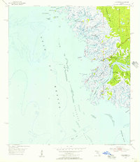
1954 · Suwannee
USGS Topo · 1:24,000
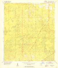
1954 · Chiefland SW
USGS Topo · 1:24,000
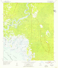
1954 · East Pass
USGS Topo · 1:24,000
1954 · Gainesville
USGS Topo · 1:250,000
1955 · Seahorse Key
USGS Topo · 1:24,000
1955 · Cedar Key
USGS Topo · 1:24,000
1955 · Sumner
USGS Topo · 1:24,000
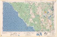
1958 · Gainesville
USGS Topo · 1:250,000
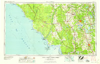
1959 · Gainesville
USGS Topo · 1:250,000
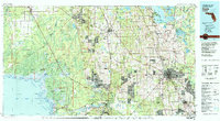
1978 · Ocala
USGS Topo · 1:100,000