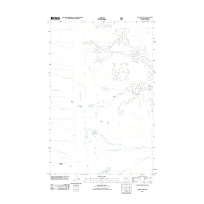
2011 Map of Cedar Lake
USGS Topo · Published 2011About this map
Moss Peak and Cedar Peak define the high-elevation terrain of this Lake County wilderness, which is deeply carved by glacial cirques and an extensive network of alpine streams. This 2011 survey illustrates the complex drainage patterns of the North Fork Cedar Creek and South Fork Cedar Creek, both flowing toward Cedar Lake. The landscape is characterized by isolated basins holding waters such as Fatty Lake, Rainbow Lake, and Piper Lake, connected by rugged passages like Hellroaring Pass. Along the southern boundary, Minesinger Ridge rises above Big Creek, while a few high-altitude forestry routes, including 10381 and 10392, provide the only evidence of human transit through this remote mountain geography.
Find a feature on this map
22 named features on this map. Tap any name to fly to it.
Don’t see what you’re looking for? This feature index may not catch every label — zoom into the map to look around manually.
Map Details
Editions of this 2011 Cedar Lake Map
This is the sole edition of this map. No revisions or reprints were ever made.
Other maps of this area

1920 · Flathead Lake
USGS Topo · 1:125,000

1955 · Choteau
USGS Topo · 1:250,000

1956 · Wallace
USGS Topo · 1:250,000

1957 · Choteau
USGS Topo · 1:250,000

1958 · Choteau
USGS Topo · 1:250,000

1960 · Wallace
USGS Topo · 1:250,000

1962 · Choteau
USGS Topo · 1:250,000

1964 · Bull Island
USGS Topo · 1:24,000

1964 · East Bay
USGS Topo · 1:24,000

1964 · Ronan
USGS Topo · 1:24,000