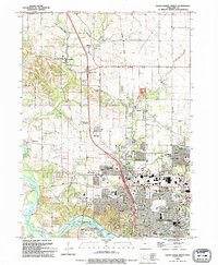
1994 Map of Cedar Rapids North
USGS Topo · Published 1994About this map
Cedar Rapids and its northern suburbs are documented here in the mid-1990s, revealing a landscape where residential expansion meets established rural character. The Cedar River winds through the southwestern corner, flanked by the Seminole Valley and parks like Ellis Park. The map captures the suburban growth of Hiawatha and Robins along the Cedar Valley Nature Trail, which follows an old railroad grade that once served the agricultural hinterland. Local history is preserved in small burial grounds such as Dunkard Cem and Squires-Oliphant Cem, while later development is anchored by the Lindale Plaza Shopping Center and educational institutions like John F Kennedy High Sch. The transition from the dense urban grid of Louisa to the scattered settlements of Midway and Toddville illustrates the region's late-twentieth-century residential footprint.
Find a feature on this map
79 named features on this map. Tap any name to fly to it.
Don’t see what you’re looking for? This feature index may not catch every label — zoom into the map to look around manually.
Map Details
Editions of this 1994 Cedar Rapids North Map
2 editions found
Historical Maps of Cedar Rapids Through Time
10 maps found
1965 Mt Vernon
Linn County, IA
1967 Cedar Rapids North
Linn County, IA
1967 Cedar Rapids South
Linn County, IA
1968 Lafayette
Linn County, IA
1975 Cedar Rapids North
Linn County, IA
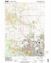
1994 Cedar Rapids North
Linn County, IA
1994 Cedar Rapids South
Linn County, IA
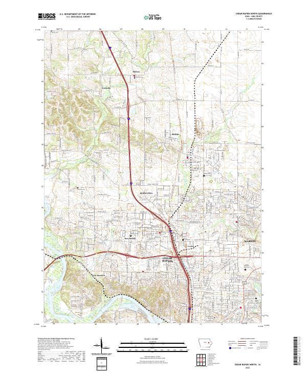
2022 Cedar Rapids North
Linn County, IA
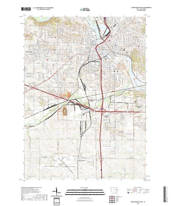
2022 Cedar Rapids South
Linn County, IA
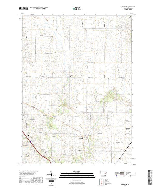
2022 Lafayette
Linn County, IA