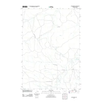
2012 Map of Cedar Ridge
USGS Topo · Published 2012About this map
Cedar Ridge anchors this portion of northeastern Wyoming, where the landscape is defined by the headwaters and drainage networks of the Little Missouri River. In the early 21st century, the area remains dominated by open rangeland and grazing infrastructure, highlighted by the presence of the Grazing Association Rd. The map illustrates a high density of intermittent watercourses such as Driscoll Cr, Carrie Nation Cr, and Mitten Prong feeding into larger basins. Local water management is visible through features like the Croppie Number 2 Reservoir near the eastern boundary. This document provides a look at the rural road network, including the New Haven-Rocky Point Rd and the D-Road Little Missouri Connect, which facilitate movement through this cattle-ranching landscape.
Find a feature on this map
16 named features on this map. Tap any name to fly to it.
Don’t see what you’re looking for? This feature index may not catch every label — zoom into the map to look around manually.
Map Details
Editions of this 2012 Cedar Ridge Map
This is the sole edition of this map. No revisions or reprints were ever made.
Other maps of this area
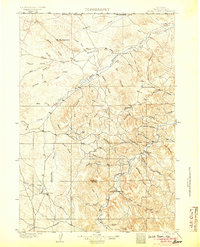
1905 · Devils Tower
USGS Topo · 1:125,000

1954 · Gillette
USGS Topo · 1:250,000

1955 · Gillette
USGS Topo · 1:250,000
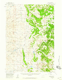
1957 · Oshoto
USGS Topo · 1:62,500
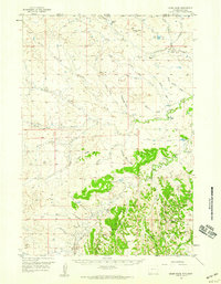
1957 · Cedar Ridge
USGS Topo · 1:62,500

1958 · Gillette
USGS Topo · 1:250,000

1962 · Gillette
USGS Topo · 1:250,000
1972 · Bonnie Reservoir
USGS Topo · 1:24,000
1972 · Brislawn School
USGS Topo · 1:24,000
1972 · Rockypoint
USGS Topo · 1:24,000