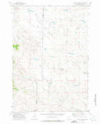
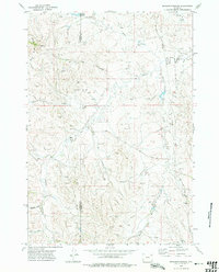
1972 Map of Bonnie Reservoir
USGS Topo · Published 1975About this map
Bonnie Reservoir and the surrounding rangelands along the Campbell and Crook county line are detailed in this early 1970s survey. The landscape is defined by a dendritic drainage pattern where the North Fork Little Missouri River meets various seasonal draws and prongs, such as Mitten Prong and McKim Draw. Ranching life is evident through the inclusion of the Horse Creek Arena and several small water management features like Wenande Reservoir No 1. Physical landmarks like Monument Hill provide topographical orientation in an area largely characterized by these vital water sources. The map also traces modern infrastructure of the era, including a prominent Pipeline and scattered Drill Hole locations, indicating the integration of industrial resource extraction into the traditional Wyoming high plains grazing environment.
Find a feature on this map
17 named features on this map. Tap any name to fly to it.
Don’t see what you’re looking for? This feature index may not catch every label — zoom into the map to look around manually.
Map Details
Editions of this 1972 Bonnie Reservoir Map
2 editions found
Other maps of this area

1905 · Devils Tower
USGS Topo · 1:125,000

1954 · Gillette
USGS Topo · 1:250,000

1955 · Gillette
USGS Topo · 1:250,000

1957 · Oshoto
USGS Topo · 1:62,500

1957 · Cedar Ridge
USGS Topo · 1:62,500

1958 · Gillette
USGS Topo · 1:250,000

1962 · Gillette
USGS Topo · 1:250,000
1972 · Mitten Butte
USGS Topo · 1:24,000
1972 · Bowman Hill
USGS Topo · 1:24,000
1972 · Brislawn School
USGS Topo · 1:24,000