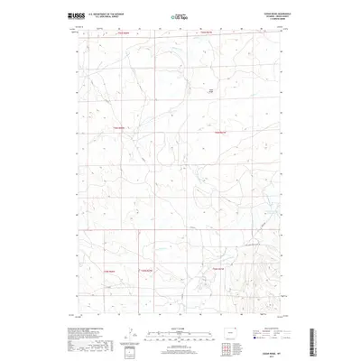
2017 Map of Cedar Ridge
USGS Topo · Published 2017About this map
Cedar Ridge rises as a prominent landmark in this northeastern Wyoming landscape, where the headwaters of several drainage systems converge. The terrain is defined by the winding course of the Little Missouri River and its numerous tributaries, including Little Mud Cr and Carrie Nation Cr. The network of watercourses, such as Driscoll Cr and Mitten Prong, reveals a complex local topography utilized for ranching and resource management. Evidence of local water engineering appears at the Croppie Number 2 Reservoir near the eastern boundary. This area is connected by a system of rural routes, notably the New Haven-Rocky Point Rd and Bariod Rd, which facilitate movement through the high plains. The map provides a detailed view of section lines and township boundaries, including t56n r67w, illustrating the late 20th-century land divisions in Crook County.
Find a feature on this map
20 named features on this map. Tap any name to fly to it.
Don’t see what you’re looking for? This feature index may not catch every label — zoom into the map to look around manually.
Map Details
Editions of this 2017 Cedar Ridge Map
This is the sole edition of this map. No revisions or reprints were ever made.
Other maps of this area
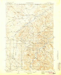
1905 · Devils Tower
USGS Topo · 1:125,000

1954 · Gillette
USGS Topo · 1:250,000

1955 · Gillette
USGS Topo · 1:250,000
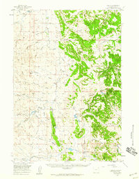
1957 · Oshoto
USGS Topo · 1:62,500
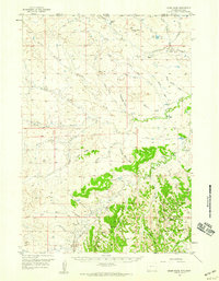
1957 · Cedar Ridge
USGS Topo · 1:62,500

1958 · Gillette
USGS Topo · 1:250,000

1962 · Gillette
USGS Topo · 1:250,000
1972 · Bonnie Reservoir
USGS Topo · 1:24,000
1972 · Brislawn School
USGS Topo · 1:24,000
1972 · Rockypoint
USGS Topo · 1:24,000