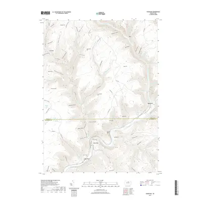
2019 Map of Cedar Run
USGS Topo · Published 2019About this map
Pine Creek carves a deep path through the center of this Tioga and Lycoming County landscape, creating the dramatic geological passage known as The Narrows. This corridor historically served as a vital transit route, as evidenced by the string of settlements along the water including Cedar Run, Blackwell, and Cedar Pines. The uplands are defined by numerous hollows and runs, such as Benjamin Hollow and Clay Mine Run, which reflect a legacy of resource extraction and early timbering.
Find a feature on this map
93 named features on this map. Tap any name to fly to it.
Don’t see what you’re looking for? This feature index may not catch every label — zoom into the map to look around manually.
Map Details
Editions of this 2019 Cedar Run Map
This is the sole edition of this map. No revisions or reprints were ever made.
Other maps of this area

1937 · Waterville
USGS Topo · 1:48,000

1943 · Hyner
USGS Topo · 1:62,500

1943 · Waterville
USGS Topo · 1:62,500

1946 · Tiadaghton
USGS Topo · 1:24,000

1946 · Antrim
USGS Topo · 1:62,500

1946 · Renovo East
USGS Topo · 1:62,500

1946 · Cedar Run
USGS Topo · 1:24,000

1946 · Slate Run
USGS Topo · 1:24,000

1946 · Antrim
USGS Topo · 1:24,000

1946 · Morris
USGS Topo · 1:24,000