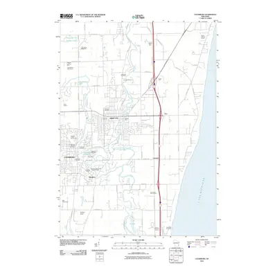
2010 Map of Cedarburg
USGS Topo · Published 2010About this map
The Milwaukee River and Cedar Creek anchor this coastal Wisconsin landscape, where industrial heritage meets suburban expansion along the shores of Lake Michigan. The twin centers of Grafton and Cedarburg reveal a history of water-powered industry, preserved in the form of the Cedarburg Woolen Mill Dam, Columbia Mills Dam, and Ruck Dam. These landmarks, alongside the Ozaukee County Fairgrounds, speak to a local economy that once centered on milling and agriculture.
Find a feature on this map
74 named features on this map. Tap any name to fly to it.
Don’t see what you’re looking for? This feature index may not catch every label — zoom into the map to look around manually.
Map Details
Editions of this 2010 Cedarburg Map
This is the sole edition of this map. No revisions or reprints were ever made.
Other maps of this area

1892 · Milwaukee
USGS Topo · 1:62,500

1892 · Waukesha
USGS Topo · 1:62,500

1892 · Port Washington
USGS Topo · 1:62,500

1901 · Milwaukee
USGS Topo · 1:62,500

1901 · Waukesha
USGS Topo · 1:62,500

1904 · West Bend
USGS Topo · 1:62,500

1904 · Port Washington
USGS Topo · 1:62,500

1906 · Waukesha
USGS Topo · 1:62,500

1906 · Milwaukee
USGS Topo · 1:62,500

1954 · Milwaukee
USGS Topo · 1:250,000