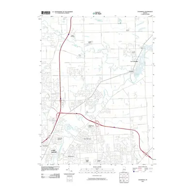
2010 Map of Cedarville
USGS Topo · Published 2010About this map
The Saint Joseph River winds through this 2010 landscape, anchoring a corridor of suburban growth and established communities north of Fort Wayne. This era captures the distinct identities of Leo and Cedarville alongside their unified municipality, Leo-Cedarville. The geography is defined by a complex drainage network, where the Cedarville Reservoir and numerous engineered waterways like the Nettlehorst Ditch and Alex Warner Ditch manage the region's hydrology.
Find a feature on this map
53 named features on this map. Tap any name to fly to it.
Don’t see what you’re looking for? This feature index may not catch every label — zoom into the map to look around manually.
Map Details
Editions of this 2010 Cedarville Map
This is the sole edition of this map. No revisions or reprints were ever made.
Other maps of this area

1953 · Fort Wayne
USGS Topo · 1:250,000

1956 · Fort Wayne
USGS Topo · 1:250,000

1956 · Fort Wayne West
USGS Topo · 1:24,000

1956 · Fort Wayne East
USGS Topo · 1:24,000

1956 · Cedarville
USGS Topo · 1:24,000

1957 · Auburn
USGS Topo · 1:24,000

1957 · Maples
USGS Topo · 1:24,000

1957 · Huntertown
USGS Topo · 1:24,000

1957 · Garrett
USGS Topo · 1:24,000

1958 · Grabill
USGS Topo · 1:24,000