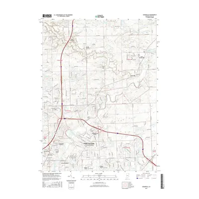
2016 Map of Cedarville
USGS Topo · Published 2016About this map
The Saint Joseph River and its tributary, Cedar Creek, anchor the landscape of this northern Allen County region. In this mid-2010s survey, the transition from the consolidated town of Leo-Cedarville to the sprawling northern reaches of Fort Wayne is clearly documented. Educational and religious institutions are prominent landmarks, including the campus of Concordia Theological Seminary and the Trine University-Fort Wayne Regional Campus. Local history is preserved in sites like the Schlatter Cem and Saint Michaels Cem, which sit alongside established residential enclaves such as Sunnybrook Acres and Brookside Estates. Smaller aviation history is represented by the Stettler Strip Airport, while the northern terrain is marked by the distinctive Cedar Canyons.
Find a feature on this map
249 named features on this map. Tap any name to fly to it.
Don’t see what you’re looking for? This feature index may not catch every label — zoom into the map to look around manually.
Map Details
Editions of this 2016 Cedarville Map
This is the sole edition of this map. No revisions or reprints were ever made.
Other maps of this area

1953 · Fort Wayne
USGS Topo · 1:250,000

1956 · Fort Wayne
USGS Topo · 1:250,000

1956 · Fort Wayne West
USGS Topo · 1:24,000

1956 · Fort Wayne East
USGS Topo · 1:24,000

1956 · Cedarville
USGS Topo · 1:24,000

1957 · Auburn
USGS Topo · 1:24,000

1957 · Maples
USGS Topo · 1:24,000

1957 · Huntertown
USGS Topo · 1:24,000

1957 · Garrett
USGS Topo · 1:24,000

1958 · Grabill
USGS Topo · 1:24,000