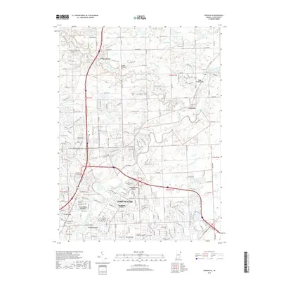
2019 Map of Cedarville
USGS Topo · Published 2019About this map
Fort Wayne and its northern suburbs are captured in this 2019 survey, showing the residential expansion from the city center toward the Saint Joseph River. The landscape is defined by its suburban residential developments, including named neighborhoods like Brookside Estates, Concordia Gardens, and Sunnybrook Acres. Farther north, the twin settlements of Leo and Cedarville (combined as Leo-Cedarville) sit at the junction of Cedar Creek and the river, anchored by local heritage sites such as Saint Leo Cem and Schlatter Cem. The map illustrates a modern infrastructure of drainage ditches, such as Nettlehorst Ditch and Alex Potter Ditch, alongside recreational routes like the Schoaff Park Trail. This document reveals the contemporary layout of Allen County, where older rural crossings meet the structured growth of modern Indiana housing subdivisions.
Find a feature on this map
65 named features on this map. Tap any name to fly to it.
Don’t see what you’re looking for? This feature index may not catch every label — zoom into the map to look around manually.
Map Details
Editions of this 2019 Cedarville Map
This is the sole edition of this map. No revisions or reprints were ever made.
Other maps of this area

1953 · Fort Wayne
USGS Topo · 1:250,000

1956 · Fort Wayne
USGS Topo · 1:250,000

1956 · Fort Wayne West
USGS Topo · 1:24,000

1956 · Fort Wayne East
USGS Topo · 1:24,000

1956 · Cedarville
USGS Topo · 1:24,000

1957 · Auburn
USGS Topo · 1:24,000

1957 · Maples
USGS Topo · 1:24,000

1957 · Huntertown
USGS Topo · 1:24,000

1957 · Garrett
USGS Topo · 1:24,000

1958 · Grabill
USGS Topo · 1:24,000