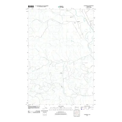
2011 Map of Cedarville
USGS Topo · Published 2011About this map
The Chehalis River winds through the northeastern corner of this Grays Harbor County landscape, anchoring the settlement of Cedarville. The area is defined by a dense network of tributaries, including Garrard Creek and Williams Creek, which carve through the timbered terrain. This 2011 survey captures a rural economy where industrial land use, represented by the Cedarville Quarry and Cedarville Gravel Quarry, sits alongside small-scale aviation at the Kimbrel Farm Airport.
Find a feature on this map
35 named features on this map. Tap any name to fly to it.
Don’t see what you’re looking for? This feature index may not catch every label — zoom into the map to look around manually.
Map Details
Editions of this 2011 Cedarville Map
This is the sole edition of this map. No revisions or reprints were ever made.
Other maps of this area

1941 · Walville
USGS Topo · 1:62,500

1941 · Meskill
USGS Topo · 1:62,500

1941 · Gate
USGS Topo · 1:62,500

1941 · Ford
USGS Topo · 1:62,500

1953 · Hoquiam
USGS Topo · 1:250,000

1953 · Rochester
USGS Topo · 1:62,500

1953 · Pe Ell
USGS Topo · 1:62,500

1953 · Malone
USGS Topo · 1:62,500

1953 · Adna
USGS Topo · 1:62,500

1957 · Hoquiam
USGS Topo · 1:250,000