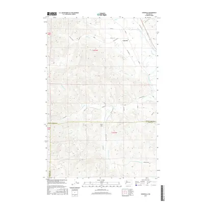
2017 Map of Cedarville
USGS Topo · Published 2017About this map
Cedarville serves as the focal point for this landscape where the Chehalis River valley meets the complex drainage systems of the south Puget Sound region. The terrain is defined by a dense network of waterways, including Garrard Cr, Williams Cr, and Davis Cr, which have historically shaped the settlement patterns and agricultural development of the area. A notable landmark for regional aviation is the Kimbrel Farm Airport, situated in the southern half of the quadrangle near the boundary between Grays Harbor and Lewis County. This 2017 survey reveals a rural infrastructure of local roads such as Brooklyn Rd and Garrard Creek Rd that follow the natural contours of the river valley and its many tributaries, including S Fork Garrard Cr and Independence Cr.
Find a feature on this map
32 named features on this map. Tap any name to fly to it.
Don’t see what you’re looking for? This feature index may not catch every label — zoom into the map to look around manually.
Map Details
Editions of this 2017 Cedarville Map
This is the sole edition of this map. No revisions or reprints were ever made.
Other maps of this area
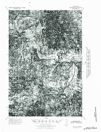
1941 · Walville
USGS Topo · 1:62,500
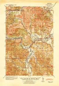
1941 · Meskill
USGS Topo · 1:62,500
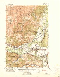
1941 · Gate
USGS Topo · 1:62,500
1941 · Ford
USGS Topo · 1:62,500
1953 · Hoquiam
USGS Topo · 1:250,000
1953 · Rochester
USGS Topo · 1:62,500
1953 · Pe Ell
USGS Topo · 1:62,500
1953 · Malone
USGS Topo · 1:62,500
1953 · Adna
USGS Topo · 1:62,500
1957 · Hoquiam
USGS Topo · 1:250,000