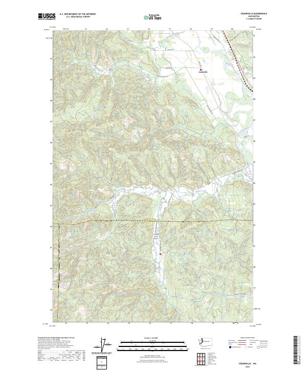
2023 Map of Cedarville
USGS Topo · Published 2023About this map
Cedarville sits at the northern end of this corridor where the Chehalis River winds through the boundary of Grays Harbor and Lewis Counties. The landscape is defined by an intricate network of drainage systems, including the long reach of Garrard Creek and its tributary, South Fork Garrard Creek, which carve through the timbered hills. Near the county line, the Kimbrel Farm Airport provides a small aviation hub amidst the rural surroundings. The terrain transition is marked by numerous named water bodies like Williams Creek, Davis Creek, and Rock Creek, reflecting a region deeply tied to its natural hydrology. Roads like S Bank Rd and Garrard Creek Rd follow the natural contours of the river valleys, connecting isolated farms and homesteads to the village center at Cedarville.
Find a feature on this map
33 named features on this map. Tap any name to fly to it.
Don’t see what you’re looking for? This feature index may not catch every label — zoom into the map to look around manually.
Map Details
Editions of this 2023 Cedarville Map
This is the sole edition of this map. No revisions or reprints were ever made.
Other maps of this area

1941 · Walville
USGS Topo · 1:62,500

1941 · Meskill
USGS Topo · 1:62,500

1941 · Gate
USGS Topo · 1:62,500

1941 · Ford
USGS Topo · 1:62,500

1953 · Hoquiam
USGS Topo · 1:250,000

1953 · Rochester
USGS Topo · 1:62,500

1953 · Pe Ell
USGS Topo · 1:62,500

1953 · Malone
USGS Topo · 1:62,500

1953 · Adna
USGS Topo · 1:62,500

1957 · Hoquiam
USGS Topo · 1:250,000