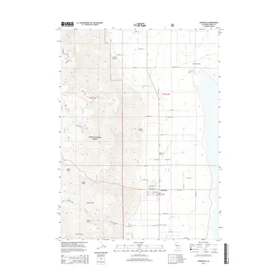
2015 Map of Cedarville
USGS Topo · Published 2015About this map
Cedarville serves as the focal point for this survey of the western edge of Surprise Valley, where the steep slopes of the Modoc National Forest meet the basin floor. The community's grid is detailed through its central corridor of Main St, bordered by local landmarks like the Cedarville Airport and the Cedarville Cemetery to the south. The transition from the high elevations of Warner Summit down through rugged drainages such as Simpson Canyon and Cooks Canyon illustrates the dramatic relief that defines the region's geography. Water management and natural flow are evident in the courses of Cedar Cr and N Deep Cr, which descend from the highlands toward the valley. The map documents the persistent road network connecting these remote canyons, including Deep Creek Rd and numerous county routes that trace the base of the mountains.
Find a feature on this map
48 named features on this map. Tap any name to fly to it.
Don’t see what you’re looking for? This feature index may not catch every label — zoom into the map to look around manually.
Map Details
Editions of this 2015 Cedarville Map
This is the sole edition of this map. No revisions or reprints were ever made.
Other maps of this area
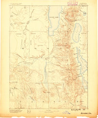
1886 · Alturas
USGS Topo · 1:250,000
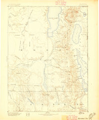
1892 · Alturas
USGS Topo · 1:250,000
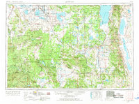
1954 · Alturas
USGS Topo · 1:250,000
1958 · Alturas
USGS Topo · 1:250,000
1962 · Alturas
USGS Topo · 1:250,000
1962 · Davis Creek
USGS Topo · 1:62,500
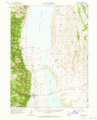
1962 · Cedarville
USGS Topo · 1:62,500
1963 · Warren Peak
USGS Topo · 1:24,000
1963 · Hansen Island
USGS Topo · 1:24,000
1963 · Shields Creek
USGS Topo · 1:24,000