2022 Map of Celina
USGS Topo · Published 2022About this map
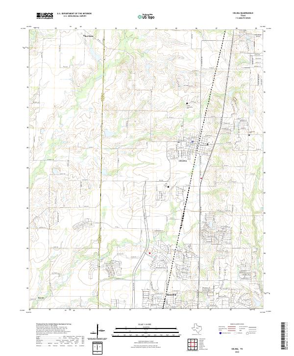
Celina and the northern reaches of Prosper anchor this 2022 survey, illustrating the rapid suburban expansion and infrastructure development at the border of Denton Co and Collin Co. The map records a dense network of residential streets and arterial roads like Dallas Pkwy and FM 455, which weave through the agricultural remnants of the North Texas landscape. This document is particularly valuable for genealogists, as it meticulously labels several historic burial grounds including Celina Community Cem, Old Union Cem, and Old Celina Cem.
Find a feature on this map
151 named features on this map. Tap any name to fly to it.
Don’t see what you’re looking for? This feature index may not catch every label — zoom into the map to look around manually.
Map Details
Editions of this 2022 Celina Map
This is the sole edition of this map. No revisions or reprints were ever made.