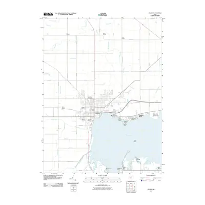
2010 Map of Celina
USGS Topo · Published 2010About this map
Celina serves as the focal point of this Mercer County landscape, positioned along the northwestern shores of Grand Lake. The town's layout reflects its dual identity as a local government seat and a hub for higher education, anchored by the Western Ohio Branch Wright State University and the Mercer County Fairgrounds. The shoreline is heavily developed with distinct residential clusters such as Highland Park, Lakeland Beach, and Montezuma Acres, many of which originated as lakeside vacation settlements.
Find a feature on this map
54 named features on this map. Tap any name to fly to it.
Don’t see what you’re looking for? This feature index may not catch every label — zoom into the map to look around manually.
Map Details
Editions of this 2010 Celina Map
This is the sole edition of this map. No revisions or reprints were ever made.
Other maps of this area

1908 · St. Henry
USGS Topo · 1:62,500

1909 · Loramie
USGS Topo · 1:62,500

1911 · Loramie
USGS Topo · 1:62,500

1911 · Spencerville
USGS Topo · 1:62,500

1914 · Celina
USGS Topo · 1:62,500

1944 · Loramie
USGS Topo · 1:62,500

1944 · Celina
USGS Topo · 1:62,500

1944 · Spencerville
USGS Topo · 1:62,500

1953 · Muncie
USGS Topo · 1:250,000

1956 · Muncie
USGS Topo · 1:250,000