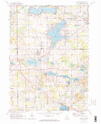
1971 Map of Cement City
USGS Topo · Published 1973About this map
Lake Columbia dominates the upper-central portion of this landscape, its intricate shoreline reflecting the post-war residential development and recreation trends of the early 1970s. The village of Cement City sits at the intersection of the Penn Central Railroad and several county routes, serving as a hub between the southern hills of Woodstock and the lake-dotted terrain to the north. Local history is etched into the landscape through family and community landmarks like Sanford Cem and Peterson Cem, alongside early civic infrastructure including the Columbia Central High Sch.
Find a feature on this map
73 named features on this map. Tap any name to fly to it.
Don’t see what you’re looking for? This feature index may not catch every label — zoom into the map to look around manually.
Map Details
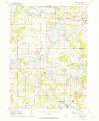
Editions of this 1971 Cement City Map
2 editions found
Other maps of this area

1935 · Jackson
USGS Topo · 1:48,000

1939 · Jackson
USGS Topo · 1:62,500

1948 · Manchester
USGS Topo · 1:62,500

1949 · Manchester
USGS Topo · 1:62,500

1953 · Fort Wayne
USGS Topo · 1:250,000

1956 · Fort Wayne
USGS Topo · 1:250,000

1958 · Grand Rapids
USGS Topo · 1:250,000

1961 · Grand Rapids
USGS Topo · 1:250,000

1962 · Grand Rapids
USGS Topo · 1:250,000
1962 · Wheatland
USGS Topo · 1:24,000