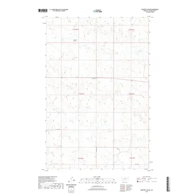
2020 Map of Cemetery Coulee
USGS Topo · Published 2020About this map
Haglunds-Ritchie Cem serves as a central landmark in this portion of McCone County, positioned along the east-west corridor of Route 200. The surrounding landscape is defined by the drainage patterns of Cemetery Coulee and several seasonal watercourses including Soda Cr and Coal Cr. The terrain reflects a quintessential Big Sky drainage system, where intermittent streams like Skull Cr have carved the local topography.
Find a feature on this map
14 named features on this map. Tap any name to fly to it.
Don’t see what you’re looking for? This feature index may not catch every label — zoom into the map to look around manually.
Map Details
Editions of this 2020 Cemetery Coulee Map
This is the sole edition of this map. No revisions or reprints were ever made.
Other maps of this area

1954 · Jordan
USGS Topo · 1:250,000

1954 · Glendive
USGS Topo · 1:250,000

1956 · Jordan
USGS Topo · 1:250,000

1957 · Glendive
USGS Topo · 1:250,000

1958 · Jordan
USGS Topo · 1:250,000

1958 · Glendive
USGS Topo · 1:250,000

1964 · Jordan
USGS Topo · 1:250,000

1965 · Hedstrom Lake
USGS Topo · 1:24,000

1965 · Hedstrom Lake NW
USGS Topo · 1:24,000
1965 · Berry School
USGS Topo · 1:24,000