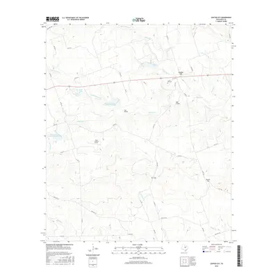
2016 Map of Center City
USGS Topo · Published 2016About this map
Center City occupies a central position on this Mills County landscape, sitting near the crossroads of local transit routes in the mid-2010s. The settlement's history is reflected in the Center City Cem, while the modern rural infrastructure includes the Flying 7H Ranch Airport and several engineered water features like the Soil Conservation Service Site 1 Reservoir. The topography is defined by significant drainage systems and named breaks in the terrain, such as Barr Gap and Russell Gap, which dictate the winding paths of county roads. Numerous creeks, including N Bennett Cr, Middle Bennett Cr, and S Bennett Cr, carve through the land, creating distinct features like Cub Hollow and Bee Hollow. Private and ranch roads lace the countryside, connecting remote homesteads to Ranch Rd 572 and the broader Texas road network.
Find a feature on this map
47 named features on this map. Tap any name to fly to it.
Don’t see what you’re looking for? This feature index may not catch every label — zoom into the map to look around manually.
Map Details
Editions of this 2016 Center City Map
This is the sole edition of this map. No revisions or reprints were ever made.
Other maps of this area

1885 · San Saba
USGS Topo · 1:125,000

1887 · Lampasas
USGS Topo · 1:125,000

1888 · Hamilton
USGS Topo · 1:125,000

1889 · Brownwood
USGS Topo · 1:125,000

1894 · Hamilton
USGS Topo · 1:125,000

1894 · Lampasas
USGS Topo · 1:125,000

1894 · Brownwood
USGS Topo · 1:125,000

1894 · San Saba
USGS Topo · 1:125,000

1925 · San Saba 1-d
USGS Topo · 1:48,000

1928 · Goldthwaite
USGS Topo · 1:62,500