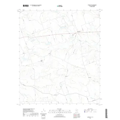
2019 Map of Center City
USGS Topo · Published 2019About this map
Center City serves as the primary focal point in this Mills County landscape, centered along a corridor defined by local ranching and rural aviation. The area is characterized by a complex drainage network feeding into Mustang Cr and the various branches of Bennett Cr, including the Middle Bennett Cr and S Bennett Cr. To the west of the main settlement, Kemp Lake and the Flying 7H Ranch Airport suggest a region shaped by private landholdings and specific agricultural needs.
Find a feature on this map
43 named features on this map. Tap any name to fly to it.
Don’t see what you’re looking for? This feature index may not catch every label — zoom into the map to look around manually.
Map Details
Editions of this 2019 Center City Map
This is the sole edition of this map. No revisions or reprints were ever made.
Other maps of this area

1885 · San Saba
USGS Topo · 1:125,000

1887 · Lampasas
USGS Topo · 1:125,000

1888 · Hamilton
USGS Topo · 1:125,000

1889 · Brownwood
USGS Topo · 1:125,000

1894 · Hamilton
USGS Topo · 1:125,000

1894 · Lampasas
USGS Topo · 1:125,000

1894 · Brownwood
USGS Topo · 1:125,000

1894 · San Saba
USGS Topo · 1:125,000

1925 · San Saba 1-d
USGS Topo · 1:48,000

1928 · Goldthwaite
USGS Topo · 1:62,500