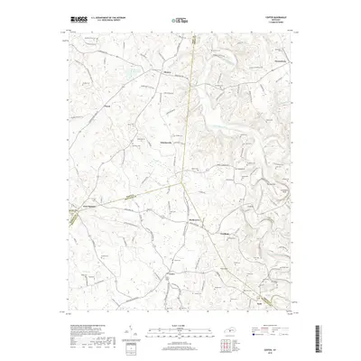
2019 Map of Center
USGS Topo · Published 2019About this map
The Little Barren River carves a winding path through this corner of Kentucky, creating dramatic geographic features like The Narrows and Horseshoe Bend. This landscape is defined by its rural density, where numerous family cemeteries and small settlements are scattered across the rolling terrain. From Monroe and Donansburg in the north to Center and Node in the south, the map reveals a deeply established community structure anchored by places like Shady Grove and Whickerville.
Find a feature on this map
132 named features on this map. Tap any name to fly to it.
Don’t see what you’re looking for? This feature index may not catch every label — zoom into the map to look around manually.
Map Details
Editions of this 2019 Center Map
This is the sole edition of this map. No revisions or reprints were ever made.
Other maps of this area

1934 · Munfordville
USGS Topo · 1:48,000

1935 · Horse Cave
USGS Topo · 1:48,000

1937 · Munfordville
USGS Topo · 1:62,500

1938 · Horse Cave
USGS Topo · 1:62,500

1953 · Sulphur Well
USGS Topo · 1:24,000

1953 · Hudgins
USGS Topo · 1:24,000

1953 · Summersville
USGS Topo · 1:24,000

1953 · Exie
USGS Topo · 1:24,000

1953 · Center
USGS Topo · 1:24,000

1953 · East Fork
USGS Topo · 1:24,000