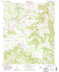
1947 Map of Center Grove
USGS Topo · Published 1983About this map
Brindlee Mountain dominates the eastern half of this landscape, its steep escarpments and high plateaus overlooking a complex network of valleys and coves in Morgan County. The northern edge is defined by the Wheeler Reservoir, where the Reservation Boundary marks the extent of the Tennessee Valley Authority’s influence on the shoreline. Local life is anchored by small communities such as Woodland Mills, Lynntown, and Florette, each connected by roads that wind through the valley floor.
Find a feature on this map
63 named features on this map. Tap any name to fly to it.
Don’t see what you’re looking for? This feature index may not catch every label — zoom into the map to look around manually.
Map Details
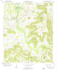
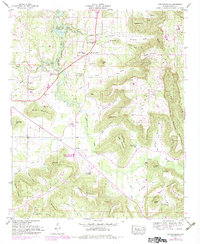
Editions of this 1947 Center Grove Map
3 editions found
Other maps of this area

1888 · Cullman
USGS Topo · 1:125,000

1888 · Huntsville
USGS Topo · 1:125,000

1892 · Cullman
USGS Topo · 1:125,000

1892 · Huntsville
USGS Topo · 1:125,000

1936 · Triana
USGS Topo · 1:24,000

1936 · Hulaco
USGS Topo · 1:24,000

1936 · Eva
USGS Topo · 1:24,000

1936 · Somerville
USGS Topo · 1:24,000

1936 · Lawrence Cove
USGS Topo · 1:24,000

1936 · Center Grove
USGS Topo · 1:24,000