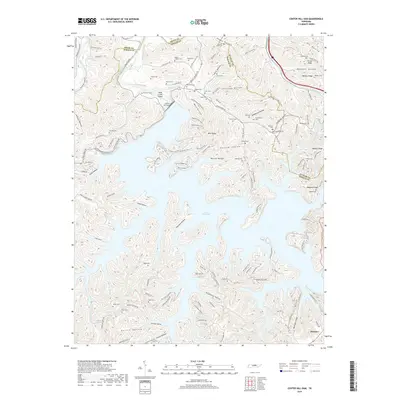
2019 Map of Center Hill Dam
USGS Topo · Published 2019About this map
Center Hill Lake dominates this landscape on the borders of Smith, DeKalb, and Putnam Counties. Created by the Center Hill Dam along the Caney Fork, the reservoir's fingers reach deep into complex terrain defined by features like Raccoon Hollow and Stillhouse Hollow. The map reveals a high density of family-named burial grounds, such as Huddleston Cem, Carr Cem, and Lafever Cem, which offer significant value for genealogists tracing local lineage near the settlement of Buckner. Hiking and recreation patterns are clearly visible through the Highland Rim Trail and Merritt Ridge Trail, while the surrounding ridges like Moss Ridge and Wallace Ridge illustrate the area's difficult topography. The convergence of Tenn 141 and Tenn 96 north of the dam highlights the region's modern transit network atop a deeply historical rural layout.
Find a feature on this map
150 named features on this map. Tap any name to fly to it.
Don’t see what you’re looking for? This feature index may not catch every label — zoom into the map to look around manually.
Map Details
Editions of this 2019 Center Hill Dam Map
This is the sole edition of this map. No revisions or reprints were ever made.
Other maps of this area

1893 · Mc Minnville
USGS Topo · 1:125,000

1895 · Mc Minnville
USGS Topo · 1:125,000

1928 · Gordonsville
USGS Topo · 1:62,500

1942 · Statesville
USGS Topo · 1:100,000

1943 · Cookeville
USGS Topo · 1:100,000

1944 · Cookeville
USGS Topo · 1:100,000

1953 · Chattanooga
USGS Topo · 1:250,000

1955 · Baxter
USGS Topo · 1:24,000

1956 · Silver Point
USGS Topo · 1:24,000

1956 · Corbin
USGS Topo · 1:250,000