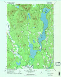
1963 Map of Center Lovell
USGS Topo · Published 1965About this map
Kezar Lake dominates this Western Maine landscape, its waters divided into Upper Bay, Middle Bay, and Lower Bay by prominent landforms like The Narrows. To the west, the White Mountain National Forest boundary protects a sequence of peaks including Adams Mtn and Styles Mtn. This 1963 field-checked survey documents a transition from these forested heights down to the alluvial plains of the Old Course Saco River and Charles River. Local history is preserved in the location of the Bradley Ch and several family burial grounds, such as Fox Cem and Lord Cem. Small settlements like North Lovell and Fryeburg Harbor serve as centers for a community defined by its waterways, from the Public Landing at the north to the recreational Golf Course and camps like Camp Agawam along the eastern shores.
Find a feature on this map
86 named features on this map. Tap any name to fly to it.
Don’t see what you’re looking for? This feature index may not catch every label — zoom into the map to look around manually.
Map Details
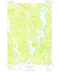
Editions of this 1963 Center Lovell Map
2 editions found
Other maps of this area

1893 · Gorham
USGS Topo · 1:62,500

1894 · North Conway
USGS Topo · 1:62,500

1896 · North Conway
USGS Topo · 1:62,500

1896 · Gorham
USGS Topo · 1:62,500

1909 · Fryeburg
USGS Topo · 1:62,500

1911 · Fryeburg
USGS Topo · 1:62,500

1914 · Bethel
USGS Topo · 1:62,500

1937 · Gorham
USGS Topo · 1:48,000

1940 · Bethel
USGS Topo · 1:62,500

1941 · Bethel
USGS Topo · 1:62,500