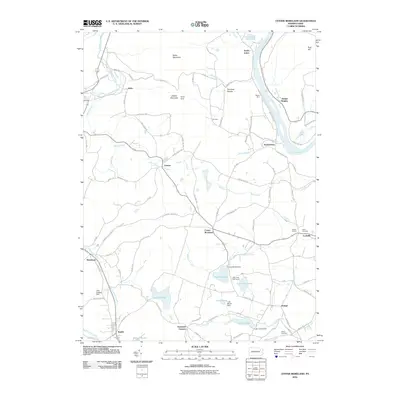
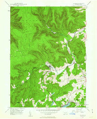
2010 Map of Center Moreland
USGS Topo · Published 2010About this map
The Susquehanna River bends sharply through this region of northeastern Pennsylvania, where the transition from river bottom to the heights of Miller Mountain and Shaver Mountain defines the local geography. The settlement pattern is characterized by numerous small, distinct hamlets such as Center Moreland, Demunds Corners, and Finchs Corners, which are linked by a network of winding roads like Monkey Hollow Rd and Story Town Corners Rd.
Find a feature on this map
95 named features on this map. Tap any name to fly to it.
Don’t see what you’re looking for? This feature index may not catch every label — zoom into the map to look around manually.
Map Details
Editions of this 2010 Center Moreland Map
This is the sole edition of this map. No revisions or reprints were ever made.
Other maps of this area

1891 · Harveys Lake
USGS Topo · 1:62,500
1893 · Harvey Lake
USGS Topo · 1:62,500
1893 · Pittston
USGS Topo · 1:62,500

1943 · Scranton
USGS Topo · 1:125,000
1945 · Meshoppen
USGS Topo · 1:62,500
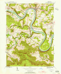
1945 · Meshoppen
USGS Topo · 1:24,000
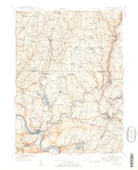
1946 · Tunkhannock
USGS Topo · 1:62,500
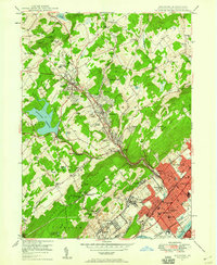
1946 · Kingston
USGS Topo · 1:24,000
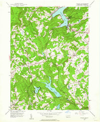
1946 · Harveys Lake
USGS Topo · 1:24,000
1946 · Noxen
USGS Topo · 1:24,000
Featured Places
- Dallas Township, PA
- Falls Township, PA
- Orange, Franklin Township
- Kunkle, Dallas Township
- Lockville, Exeter Township