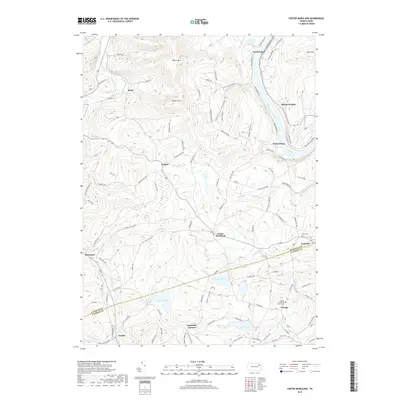
2019 Map of Center Moreland
USGS Topo · Published 2019About this map
The Susquehanna River bends sharply around the high terrain of Miller Mtn and Shaver Mtn, carving a dramatic path through the borderlands of Wyoming and Luzerne counties. This 2019 survey documents a landscape of scattered rural settlements and significant water bodies, including Perrins Marsh and the clustered recreational waters of Lake Catalpa, Lake Manjo, and Lake Louise. Historically significant locations such as the Orange Methodist Church Cem and Eaton Cem provide critical touchpoints for genealogists, while the transition from riverfront villages like Keelersburg and South Eaton to upland communities like Center Moreland and Demunds Corners illustrates the enduring settlement patterns of the region. Local transit is defined by a dense network of secondary roads such as White Ferry Rd and Keelersburg Rd, which navigate the deep valleys of Thurston Hollow and follow the courses of Sutton Cr and Whitelock Cr.
Find a feature on this map
102 named features on this map. Tap any name to fly to it.
Don’t see what you’re looking for? This feature index may not catch every label — zoom into the map to look around manually.
Map Details
Editions of this 2019 Center Moreland Map
This is the sole edition of this map. No revisions or reprints were ever made.
Other maps of this area

1891 · Harveys Lake
USGS Topo · 1:62,500

1893 · Harvey Lake
USGS Topo · 1:62,500

1893 · Pittston
USGS Topo · 1:62,500

1943 · Scranton
USGS Topo · 1:125,000

1945 · Meshoppen
USGS Topo · 1:62,500

1945 · Meshoppen
USGS Topo · 1:24,000

1946 · Tunkhannock
USGS Topo · 1:62,500

1946 · Kingston
USGS Topo · 1:24,000

1946 · Harveys Lake
USGS Topo · 1:24,000

1946 · Noxen
USGS Topo · 1:24,000
Featured Places
- Dallas Township, PA
- Falls Township, PA
- Orange, Franklin Township
- Kunkle, Dallas Township
- Lockville, Exeter Township