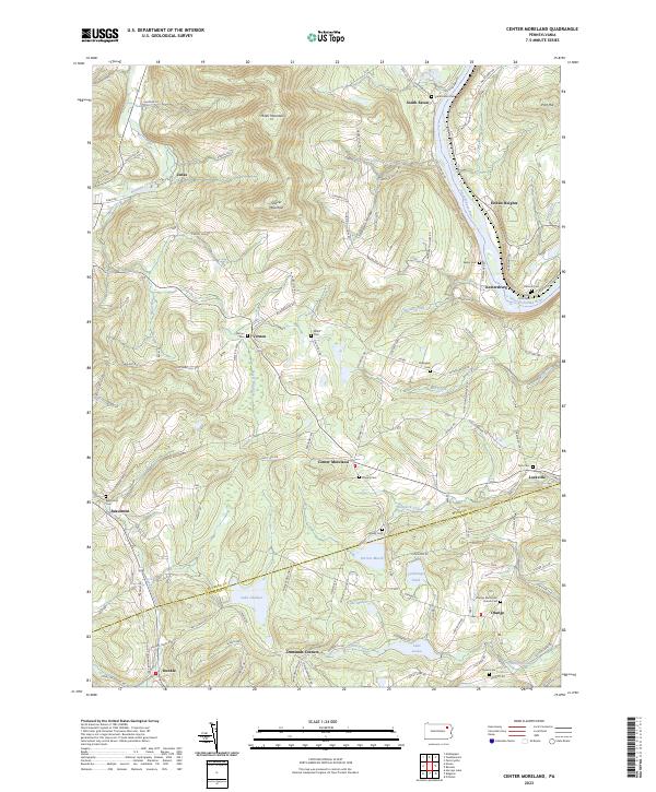
2023 Map of Center Moreland
USGS Topo · Published 2023About this map
Miller Mountain and Shaver Mountain dominate the northern landscape of this region where the Susquehanna River carves a deep valley near Keelersburg and Hoban Heights. The terrain transitions from these prominent peaks down to a dense network of upland basins containing Perrins Marsh, Lake Louise, and Lake Catalpa. The settlement pattern is characterized by small crossroads communities and family-named landmarks that reflect a long history of local habitation along the Wyoming and Luzerne County border.
Find a feature on this map
109 named features on this map. Tap any name to fly to it.
Don’t see what you’re looking for? This feature index may not catch every label — zoom into the map to look around manually.
Map Details
Editions of this 2023 Center Moreland Map
This is the sole edition of this map. No revisions or reprints were ever made.
Other maps of this area

1891 · Harveys Lake
USGS Topo · 1:62,500

1893 · Harvey Lake
USGS Topo · 1:62,500

1893 · Pittston
USGS Topo · 1:62,500

1943 · Scranton
USGS Topo · 1:125,000

1945 · Meshoppen
USGS Topo · 1:62,500

1945 · Meshoppen
USGS Topo · 1:24,000

1946 · Tunkhannock
USGS Topo · 1:62,500

1946 · Kingston
USGS Topo · 1:24,000

1946 · Harveys Lake
USGS Topo · 1:24,000

1946 · Noxen
USGS Topo · 1:24,000