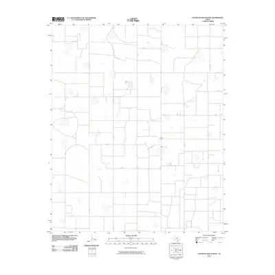
2010 Map of Center Plains School
USGS Topo · Published 2010About this map
Agricultural lands in Swisher County are defined by a geometric grid of county roads and farm-to-market routes in this 2010 study. The landscape is characterized by its organized infrastructure, where Co Rd S and Co Rd Z define the northern and southern extents of the quadrangle. The naming of the Cripple T Farm provides a rare specific reference to local ranching or farming operations in an area otherwise dominated by systemic naming conventions. Transportation through the region relies heavily on north-south arteries like Fm 1424 and Co Rd 4, which intersect with lateral routes such as Fm 928. This map serves as a clear record of West Texas land division and rural development at the start of the 21st century.
Find a feature on this map
15 named features on this map. Tap any name to fly to it.
Don’t see what you’re looking for? This feature index may not catch every label — zoom into the map to look around manually.
Map Details
Editions of this 2010 Center Plains School Map
This is the sole edition of this map. No revisions or reprints were ever made.
Other maps of this area

1954 · Plainview
USGS Topo · 1:250,000

1954 · Clovis
USGS Topo · 1:250,000

1958 · Clovis
USGS Topo · 1:250,000

1958 · Plainview
USGS Topo · 1:250,000

1965 · Hart
USGS Topo · 1:24,000

1965 · Edmonson NE
USGS Topo · 1:24,000

1965 · Kress West
USGS Topo · 1:24,000

1965 · Tulia
USGS Topo · 1:24,000

1965 · Edmonson
USGS Topo · 1:24,000

1965 · Lakeview
USGS Topo · 1:24,000