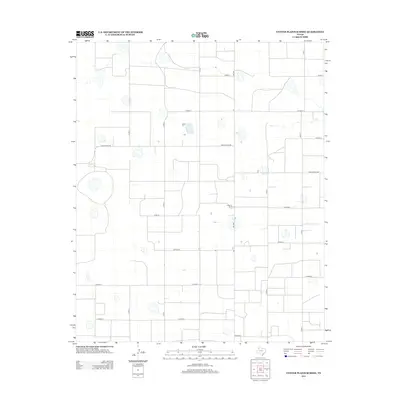
2012 Map of Center Plains School
USGS Topo · Published 2012About this map
Agricultural lands in Swisher County dominate this landscape, characterized by a highly organized grid of rural corridors and scattered homesteads. Cripple T Farm stands as a primary named landmark within this surveyed expanse, situated along the north-south axis of Fm-1424. The area is defined by its rectilinear property boundaries and the systematic placement of county roads such as Co Road S, Co Road V, and Co Road Z, which facilitate movement across the High Plains. While the map illustrates the modern era of Texas farming, the presence of these established family farms and local connectors like Ranch Road 928 provides researchers with a clear view of contemporary land use and rural settlement patterns in the Panhandle region.
Find a feature on this map
16 named features on this map. Tap any name to fly to it.
Don’t see what you’re looking for? This feature index may not catch every label — zoom into the map to look around manually.
Map Details
Editions of this 2012 Center Plains School Map
This is the sole edition of this map. No revisions or reprints were ever made.
Other maps of this area

1954 · Plainview
USGS Topo · 1:250,000

1954 · Clovis
USGS Topo · 1:250,000

1958 · Clovis
USGS Topo · 1:250,000

1958 · Plainview
USGS Topo · 1:250,000

1965 · Hart
USGS Topo · 1:24,000

1965 · Edmonson NE
USGS Topo · 1:24,000

1965 · Kress West
USGS Topo · 1:24,000

1965 · Tulia
USGS Topo · 1:24,000

1965 · Edmonson
USGS Topo · 1:24,000

1965 · Lakeview
USGS Topo · 1:24,000