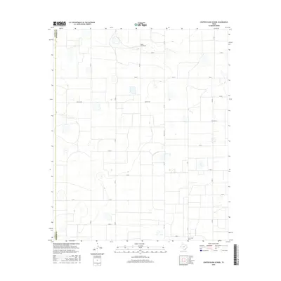
2016 Map of Center Plains School
USGS Topo · Published 2016About this map
Center Plains School serves as a lone community focal point in this 2016 survey of the Texas Panhandle’s agricultural heartland. Situated along the boundary where Castro Co meets Swisher Co, the landscape is defined by a rigorous grid of section roads like Co RD S and Co RD 7, which facilitate the massive scale of regional farming. The most significant natural break in the geometric terrain is South Tule Draw, which winds across the northern portion of the quadrangle. Aside from the primary corridors of Fm 1424 and Ranch Rd 928, the map reveals a high concentration of playa lakes and depressions scattered across the high plains. These intermittent water features emphasize the local dependence on seasonal hydrology in an otherwise semi-arid environment dominated by rural land tracts.
Find a feature on this map
18 named features on this map. Tap any name to fly to it.
Don’t see what you’re looking for? This feature index may not catch every label — zoom into the map to look around manually.
Map Details
Editions of this 2016 Center Plains School Map
This is the sole edition of this map. No revisions or reprints were ever made.
Other maps of this area

1954 · Plainview
USGS Topo · 1:250,000

1954 · Clovis
USGS Topo · 1:250,000

1958 · Clovis
USGS Topo · 1:250,000

1958 · Plainview
USGS Topo · 1:250,000

1965 · Hart
USGS Topo · 1:24,000

1965 · Edmonson NE
USGS Topo · 1:24,000

1965 · Kress West
USGS Topo · 1:24,000

1965 · Tulia
USGS Topo · 1:24,000

1965 · Edmonson
USGS Topo · 1:24,000

1965 · Lakeview
USGS Topo · 1:24,000