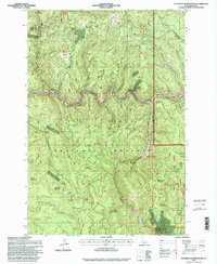
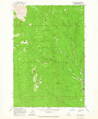
1995 Map of Center Star Mountain
USGS Topo · Published 1999About this map
The South Fork Clearwater River winds through the heart of the Nez Perce National Forest, defining a landscape heavily shaped by mid-century extraction. This survey, updated with 1990s imagery, reveals the extensive mining history of the Clearwater corridor. The prevalence of individual claims and established operations like the Wagner Mine, Lucky Strike Mine, and the Coeur d'Alene Mine illustrates a period of persistent prospecting and resource development. The presence of Dredge Tailings along the riverbank and the Center Star Mill near the foot of its namesake mountain provides physical evidence of the industrial processes used to extract value from these Idaho canyons.
Find a feature on this map
57 named features on this map. Tap any name to fly to it.
Don’t see what you’re looking for? This feature index may not catch every label — zoom into the map to look around manually.
Map Details
Editions of this 1995 Center Star Mountain Map
This is the sole edition of this map. No revisions or reprints were ever made.
Other maps of this area

1931 · Buffalo Hump
USGS Topo · 1:125,000

1934 · Buffalo Hump
USGS Topo · 1:125,000

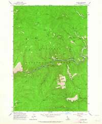
1956 · Elk City
USGS Topo · 1:250,000

1960 · Elk City
USGS Topo · 1:250,000
1962 · Golden
USGS Topo · 1:24,000
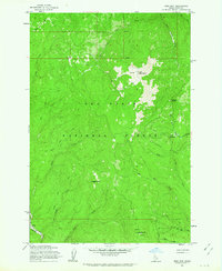
1962 · Center Star Mtn
USGS Topo · 1:24,000
1962 · Iron Mtn
USGS Topo · 1:24,000
1962 · Pilot Knob
USGS Topo · 1:24,000
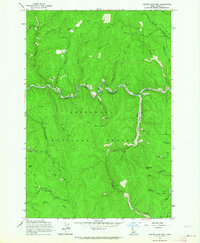
1966 · Elk City
USGS Topo · 1:24,000
1966 · Lick Point
USGS Topo · 1:24,000