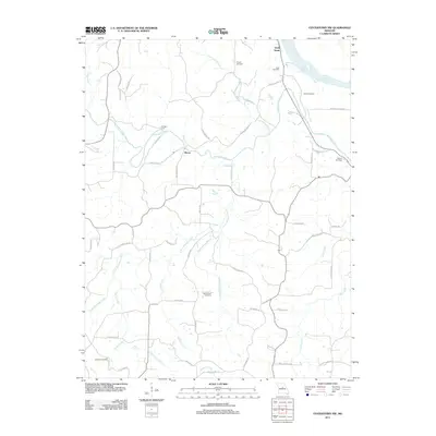
2011 Map of Centertown NW
USGS Topo · Published 2011About this map
Sandy Hook and the winding Missouri River define the northeastern corner of this landscape, where the fertile Marion Bottoms meet the rugged bluff lines. The interior is characterized by a dense network of waterways, including Moniteau Creek and Little Moniteau Creek, which shaped the early settlement patterns of rural Cole County. The small community of Bacon sits at a crossroads near the center of the map, while the historical Wingate Ford indicates an old river crossing point used before modern bridge infrastructure.
Find a feature on this map
58 named features on this map. Tap any name to fly to it.
Don’t see what you’re looking for? This feature index may not catch every label — zoom into the map to look around manually.
Map Details
Editions of this 2011 Centertown NW Map
This is the sole edition of this map. No revisions or reprints were ever made.
Other maps of this area

1886 · Jefferson City
USGS Topo · 1:125,000

1888 · Boonville
USGS Topo · 1:125,000

1894 · Jefferson City
USGS Topo · 1:125,000

1947 · Jefferson City
USGS Topo · 1:250,000

1948 · Centertown
USGS Topo · 1:62,500

1948 · Columbia
USGS Topo · 1:62,500
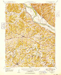
1949 · Centertown
USGS Topo · 1:62,500

1950 · Columbia
USGS Topo · 1:62,500

1951 · California South
USGS Topo · 1:24,000
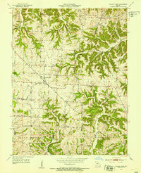
1952 · Prairie Home
USGS Topo · 1:24,000