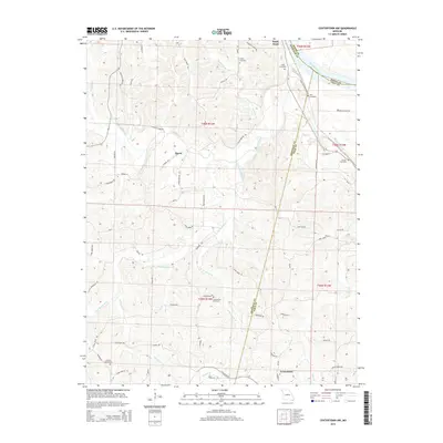
2015 Map of Centertown NW
USGS Topo · Published 2015About this map
The Missouri River defines the northeast corner of this 2015 quadrangle, where the borders of Moniteau, Boone, and Cole counties converge. This landscape is characterized by the intricate drainage systems of Little Moniteau Creek, Turtle Spring Branch, and Steinhauer Branch, which carve through the terrain south of the river. Small settlements like Bacon and Sandy Hook are connected by a network of rural roads such as Bacon Bridge Road and Confederate Road.
Find a feature on this map
72 named features on this map. Tap any name to fly to it.
Don’t see what you’re looking for? This feature index may not catch every label — zoom into the map to look around manually.
Map Details
Editions of this 2015 Centertown NW Map
This is the sole edition of this map. No revisions or reprints were ever made.
Other maps of this area

1886 · Jefferson City
USGS Topo · 1:125,000

1888 · Boonville
USGS Topo · 1:125,000

1894 · Jefferson City
USGS Topo · 1:125,000

1947 · Jefferson City
USGS Topo · 1:250,000

1948 · Centertown
USGS Topo · 1:62,500

1948 · Columbia
USGS Topo · 1:62,500
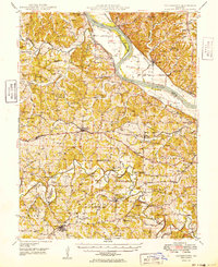
1949 · Centertown
USGS Topo · 1:62,500

1950 · Columbia
USGS Topo · 1:62,500

1951 · California South
USGS Topo · 1:24,000
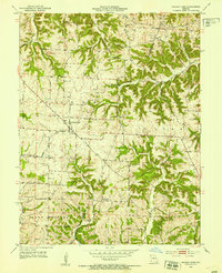
1952 · Prairie Home
USGS Topo · 1:24,000