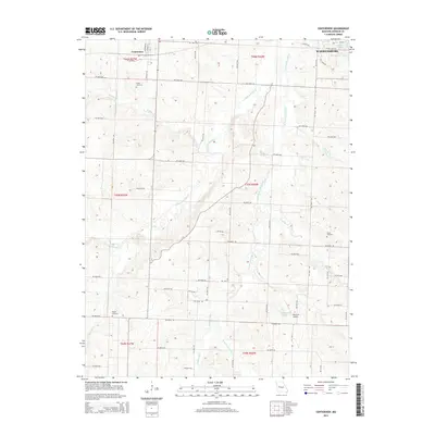
2014 Map of Centerview
USGS Topo · Published 2014About this map
Centerview serves as a central hub for this Johnson County landscape, characterized by a dense network of rural routes and the headwaters of numerous creeks. The western edge of Warrensburg appears in the northeast, where Lions Lake and Pertle Springs Lake provide notable water features near the town's perimeter. The agricultural character of the era is evident in the grid of roads such as SW 400th Rd and SW 700th Rd, which connect scattered homesteads and local landmarks. Genealogists will find significant value in the documentation of local burial grounds, including Sluder Cemetery in the north, Greer Cemetery to the east, and Pisgah Cemetery in the southwest. The terrain is defined by the winding paths of W Fork Post Oak Cr and E Fork Post Oak Cr, while smaller aviation interests are represented by the Short Air Airport near Easterwood Lake.
Find a feature on this map
59 named features on this map. Tap any name to fly to it.
Don’t see what you’re looking for? This feature index may not catch every label — zoom into the map to look around manually.
Map Details
Editions of this 2014 Centerview Map
This is the sole edition of this map. No revisions or reprints were ever made.
Other maps of this area

1885 · Warrensburg
USGS Topo · 1:125,000

1887 · Warrensburg
USGS Topo · 1:125,000

1894 · Warrensburg
USGS Topo · 1:125,000

1917 · Knobnoster
USGS Topo · 1:62,500

1947 · Jefferson City
USGS Topo · 1:250,000

1954 · Jefferson City
USGS Topo · 1:250,000

1954 · Centerview
USGS Topo · 1:24,000
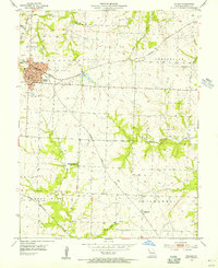
1954 · Holden
USGS Topo · 1:24,000
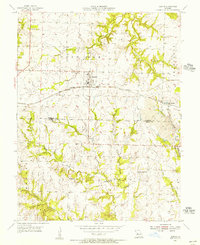
1955 · Leeton
USGS Topo · 1:24,000

1955 · Cornelia
USGS Topo · 1:24,000